Plaats:Ophoven:1915:1: verschil tussen versies
Nieuwe pagina aangemaakt met '{{sys:kaart:semantic |kaart={{PAGENAME}} |impressum={{sys:titeldeel||segment=1|veld=-2}} |cartograaf=Nationaal Geografisch Instituut |afbeelding=https://imsr.ghklandvanthorn.nl/i/zxLzt.png |afbeelding_groot=https://imsr.ghklandvanthorn.nl/i/zxLz.png |archiefstuk=qO44t2Y.jpg#V75rKnu.jpg#BZ92B6E.jpg#zcYRIvt.jpg#PeVifBv.jpg#AZ6RbMB.jpg#TaDjCxI.jpg#TSBWBdQ.jpg#tnk1eBR.jpg |column=6 |archief_url=http://www.hbvl.be/eerstewereldoorlog/dodendraad |archief=Het Belang v…' |
Geen bewerkingssamenvatting |
||
| Regel 3: | Regel 3: | ||
|impressum={{sys:titeldeel||segment=1|veld=-2}} | |impressum={{sys:titeldeel||segment=1|veld=-2}} | ||
|cartograaf=Nationaal Geografisch Instituut | |cartograaf=Nationaal Geografisch Instituut | ||
|afbeelding=https:// | |afbeelding=https://mdsr.ghklandvanthorn.nl/imsr/i/zxLzt.png | ||
|afbeelding_groot= | |afbeelding_groot=zxLz.png | ||
|archiefstuk=qO44t2Y.jpg#V75rKnu.jpg#BZ92B6E.jpg#zcYRIvt.jpg#PeVifBv.jpg#AZ6RbMB.jpg#TaDjCxI.jpg#TSBWBdQ.jpg#tnk1eBR.jpg | |archiefstuk=qO44t2Y.jpg#V75rKnu.jpg#BZ92B6E.jpg#zcYRIvt.jpg#PeVifBv.jpg#AZ6RbMB.jpg#TaDjCxI.jpg#TSBWBdQ.jpg#tnk1eBR.jpg | ||
|column=6 | |column=6 | ||
Huidige versie van 19 okt 2025 om 10:47
Terug naar Historische kaarten
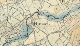
Impressum 1915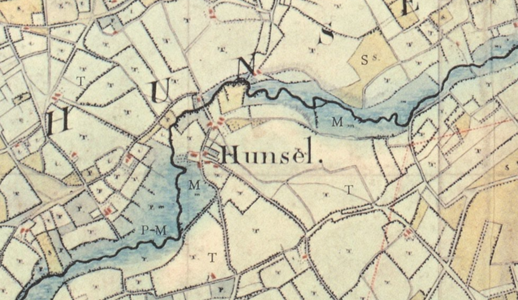 Cartograaf Nationaal Geografisch Instituut
Kaart afkomstig van Het Belang van Limburg